Background
Flowminder is one of the implementing partners of the GRID3 programme. Responsible for leading the capacity strengthening efforts of the partnership, Flowminder, in collaboration with GRID3 partner WorldPop, recently engaged with Ghana Statistical Service (GSS) to provide Geographic Information System (GIS) training and technical assistance to support their census planning efforts.
GSS expressed a need for assessing the potential difficulty of visiting enumeration areas (EAs) to reduce the count of persons ‘missed’ by enumerators. An EA is a geographic area visited by one census representative during the census to administer the questionnaire to each household within that area.
Our solution
To support this work, Flowminder, with GRID3 colleagues, developed a ‘Hard to Count Indices’ GIS toolkit to assess the difficulty of enumerating an EA based on three categories:
- geometry (size/shape of the area),
- buildings (building count and distance between buildings) and
- accessibility (tree cover, road networks, accessibility-friction surface).

Data input
Each indicator had different data requirements. For each category, we listed below the input data and their source required to produce the outputs.
Indicator |
Input Data |
Source |
|
Buildings Count and Cluster Distance |
Building footprints |
MAXAR |
|
Tree Cover |
Tree cover raster |
NASA |
|
Access (friction surface) |
Friction surface raster |
Internal (produced in AccessMod), requires a digital elevation model (SRTM), roads (OSM) and landcover (ESA) |
|
Road Density |
Road Shapefile |
OpenStreetMap (OSM) |
Data outputs
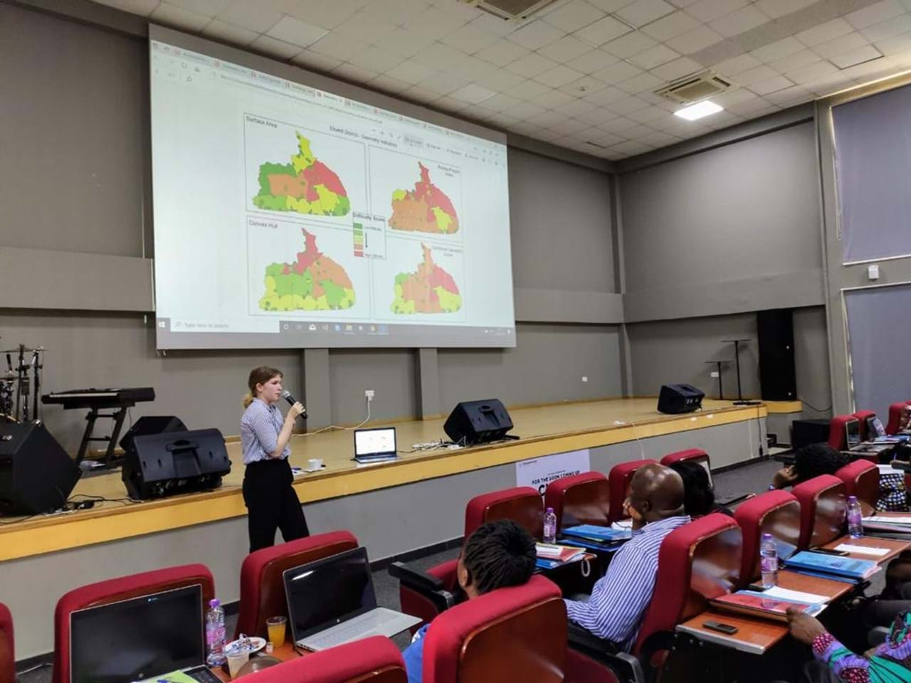
Every category includes an automated mapping tool that outputs PDF maps of the indicators for each district. Results for each indicator are presented using colours red - green (where red highlights potential higher difficulty).
There is a separate PDF produced for each indicator.
Image: PDF map produced for a trial census district, showcasing the accessibility indicators. Difficulty is displayed as low to high where red indicates potential higher difficulty

Capacity strengthening for sustainable use
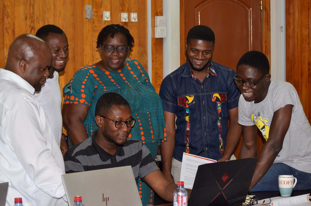
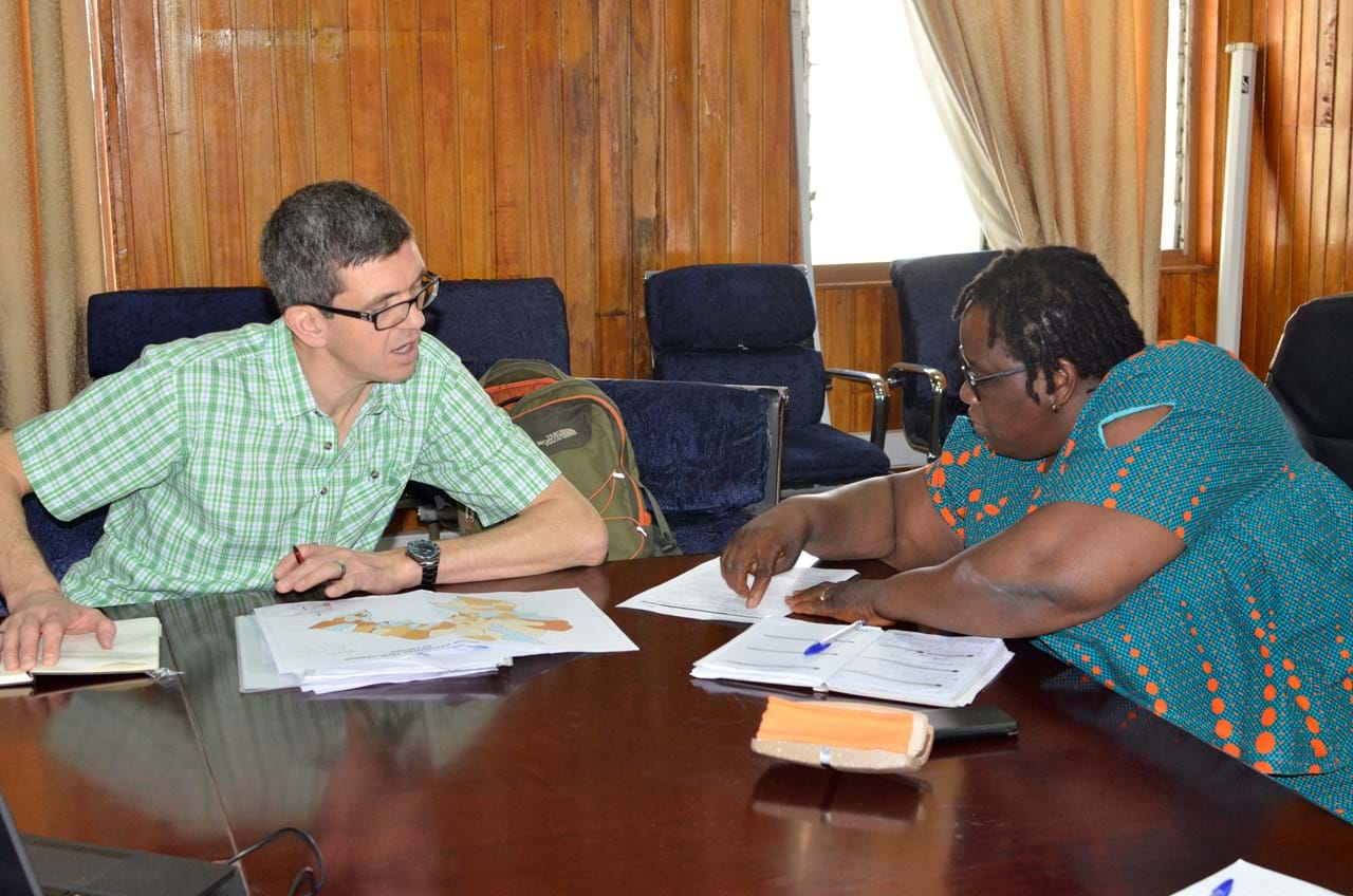
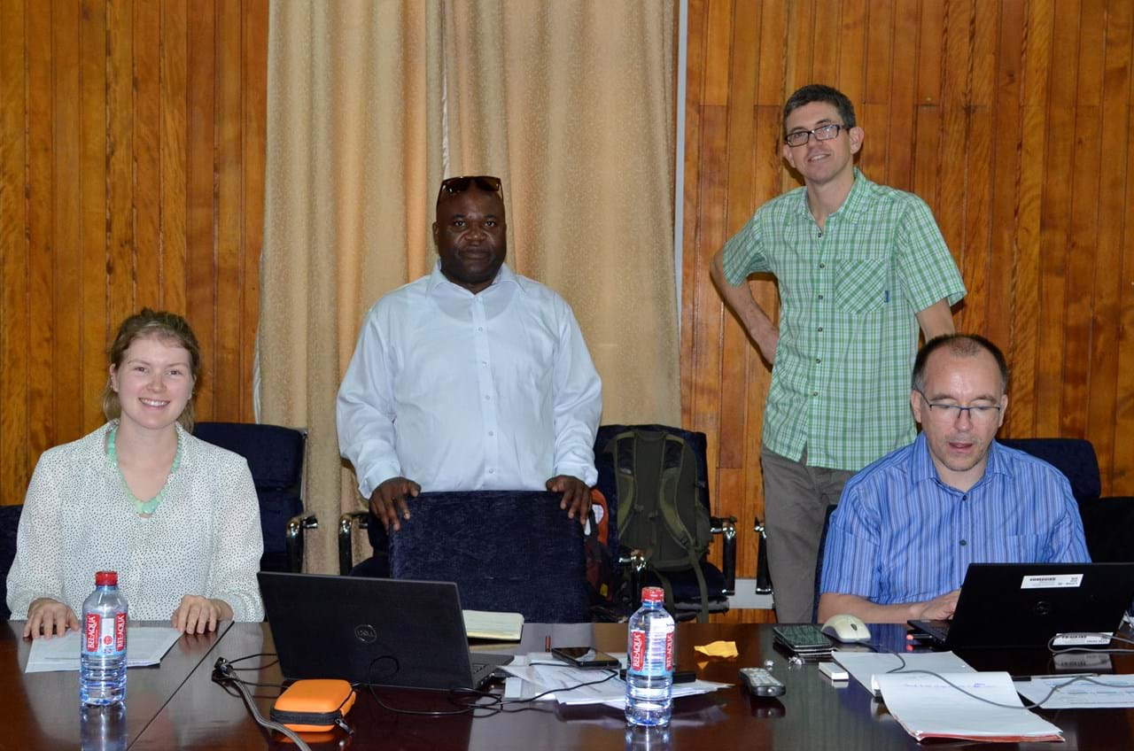
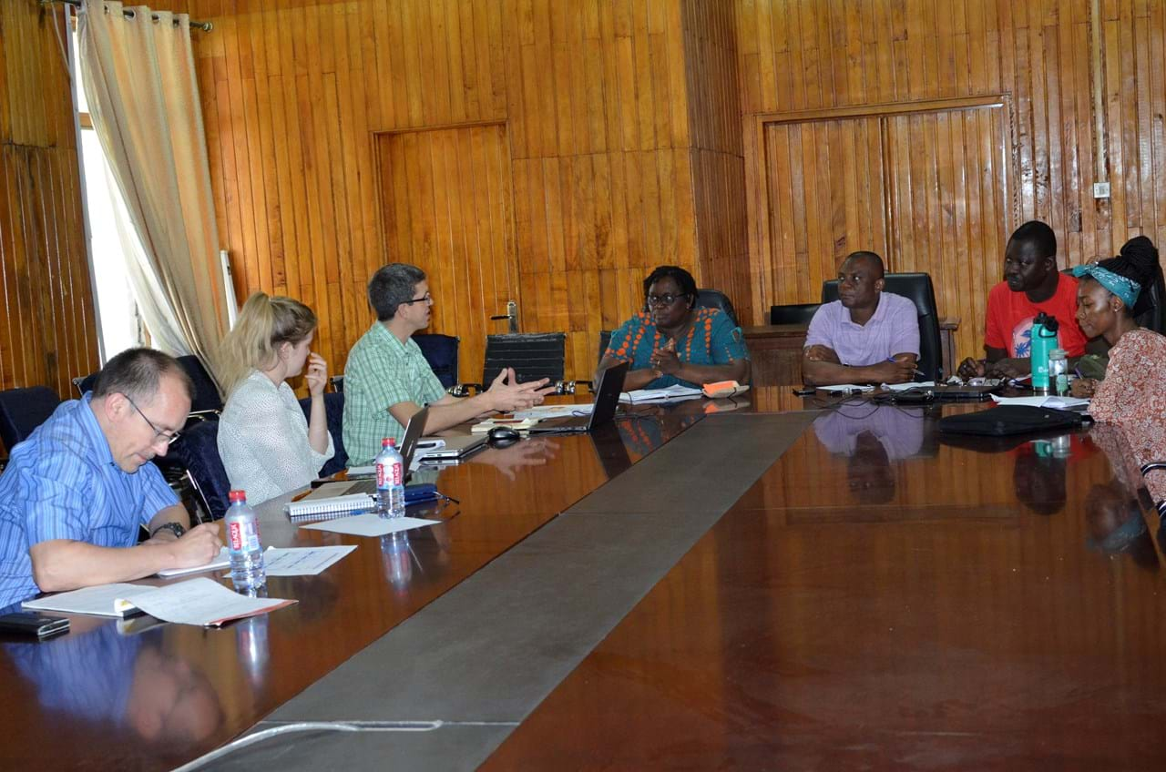
This work is supported by GIS training to key GSS staff to allow sustainable use of the toolkit. After the indicators were initally supplied, Flowminder, with colleagues from the GRID3 WorldPop team, travelled to Ghana for a follow-up GIS capacity strengthening mission.
The team produced indicators for four trial areas as part of a master training and Q&A event with 60 census staff. Alongside this, we worked with the GSS GIS team to road test the new tools produced, to ensure GSS could run them in-house.
This approach enables GSS to estimate enumeration effort in terms of field resources and personnel.